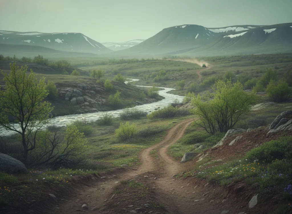
The Eleven Point Ranger District of the Mark Twain National Forest manages OHV trails in the deepest Ozark country of southern Missouri: Oregon County, the least populated county in Missouri, where the Ozark Plateau's dissected tableland is at its most remote and the hollows, springs, and Current River and Eleven Point River corridors define a landscape that has changed less than any other part of Missouri since the 19th century. The Eleven Point River gives the district its name, the river is federally designated as a National Wild and Scenic River for its crystal-clear spring-fed character, and the OHV trails operate in the national forest land adjacent to (but outside) the river's protected corridor. The trail network follows the ridge-top terrain between the Eleven Point and Current River drainages through the heart of the Oregon Plateau, the elevated forested tableland that forms the core of Missouri's Ozark backcountry. Terrain is quintessential Missouri Ozarks: chert-covered ridge tops under open shortleaf pine and scarlet oak; the forested hollows dropping to clear-water spring-fed streams; the characteristic dolomite and chert substrate that produces the glassy Ozark spring water; and the occasional cedar glade opening on the drier south-facing slopes. The Eleven Point area is physically separated from the district's western neighbors (Chadwick and Sutton Bluff) by 50+ miles of Ozark backcountry, making it a genuinely distinct OHV destination serving the Poplar Bluff, Cape Girardeau, and West Plains markets rather than the Branson or Springfield riders who use Chadwick. ATVs, UTVs, and off-highway motorcycles on designated routes; Mark Twain NF permit required. Eleven Point Ranger District at Winona (573-325-4233) manages current trail status.
Hours
Open year-round on designated OHV routes. Mark Twain National Forest OHV permit required. Trails may temporarily close during wet conditions.
Phone
573-325-4233Trip openings, seasonal updates, and the occasional deal, straight to your inbox.
FAQ
Everything you need to know before you get started.
Have a question, or ready to book? Reach out and we’ll get right back to you.